GIS & Mapping Services
| Quick Links | |
Web-based GIS Services
- Oldman River Region Urban GIS Project:
The Urban GIS Project is the development of a cooperative and centralized regional Geographic Information System for the 43 participating municipalities (see GIS Project Background for more information).
Other GIS Services

The GIS department utilizes a suite of GIS software which can provide additional services such as:
- 3D Modeling and Analysis
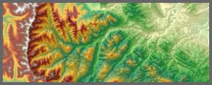
- Elevation Modeling
- Surface Studies (Density, Hillshade, Slope, Viewshed)
- Orthophoto Analysis
- GIS Conversion
- Raster and Hardcopy Conversions to a GIS Format
- Data Capture
- Database Design & Data Entry
Mapping Services

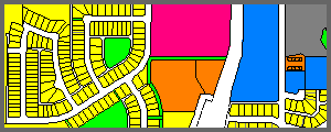
Our planners and member municipalities deal with spatial information such as land use zoning on daily basis. Maps are a powerful way to present information and ideas. ORRSC GIS staff has a selection of software including Autodesk Map 3D, ArcMap, Feature Manipulation Engine (FME) and Blue Marble which are used to produce a variety of maps including:
- Aerial Photography
- Annexation Maps
- Area Structure Plans
- Base Maps
- Cemetery Maps
- Civic Address Maps
- Contour/DEM Maps
- Existing Land Use Maps
- Infrastructure Maps (water, sanitary, storm…)
- Land Use District Maps
- Land Use Redesignation Sketches
- Municipal and Intermunicipal Development Plan Maps
- Ownership Maps
- Registered Plan Inventory Maps
- Subdivision Sketches
- Other Custom Maps
Land Use District Maps in PDF format are available to download for free (see ORRSC Members page and select your municipality). To order large printed copies of these or any other maps, please contact ORRSC.
Printing

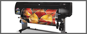
With our HP Designjet 42 inch colour printer, XEROX Workcentre 7655 and XEROX Phaser 7700 we can produce quality prints of maps, orthophotos, posters, etc. We offer:
- Colour Printing
- Black & White Printing
- 8½” x 11″, 8½” x 14″ and 11″ x 17″ page size
- Wide format printing:
- 44 inches wide by up to 300′ long
- Media types available:
- JPC24P (Highly economical, excellent performance. Matte finish provides clear, full colour plots on a 24 lb. clay coat base.)
- Ultra Bond 46 (Heavy-weight bond that provides superior color saturation, enhanced print resolution and high-quality output.)
- Photo Base Satin (A true white opaque photobase with a microporus satin topcoat.)
GPS Data Acquisition

- The ORRSC GIS department currently utilize ESRI ArcPad on a Trimble GeoXH, and a Trimble Juno SB for GPS projects
- Can achieve sub 30cm accuracy after post processing
- Have the ability to customize and deploy specialized GPS mapping projects
- Parks
- Buildings
- Trails
- Infrastructure
